About the author
I started riding in 2012 after putting on loads of weight while studying at University. Dieting was called for, but when the weight did not come off I decided that exercise was required. I could not run to save my life and swimming or any other activity requiring a gym meant a 12 miles round journey. In the end I turned to the bike I had bought to cycle to Uni on, but never did. I started with a 6 miles circuit near the village I lived and this just got longer and longer. Within three months I was cycling 25 miles every other day and the weight flew off. As anyone who cycles knows once you start you are hooked.
Beginning cycling northward of 50 years of age I was never ever going to be a racer but I, like many people, signed up to Strava and tried to get faster and fitter and it worked. I’m not the fastest, but I’m not the slowest and I’ll never hold a KoM.
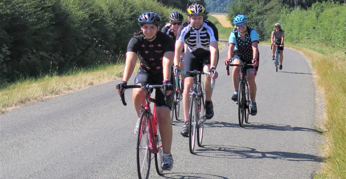
My rides and most of the rides on this site have been found just by pointing my bike in a direction and seeing where it goes. With the aid of a map neatly folded in my pocket I never failed to get back to where I started; it might have been a longer ride than I intended, but I have seen some lovely places. It was while I was exploring I started to discover that while dashing around as fast as I could I was missing out on some fantastic views and places to visit so I let myself slow down and took things in. Stopping at the many churches West Lindsey has in its district and taking pictures. I still take part in local sportives and have various training routes where I try to improve my Strava segments, but what I most enjoy is getting out on my bike and sharing new routes with friends and fellow cyclists.
A lot of this is done through a local cycling club, who mainly do just steady social rides to cafés in the area and chat along the way. I also lead social rides and am a Guided Ride leader with British Cycling putting rides on their Let’s Ride website, www.letsride.co.uk.
The aim of the website
The aim of this website is to guide you around some of the lovely areas West Lindsey has to offer. If all the rides are completed you would have visited all the towns and around 75% of the villages in the district. Most of the rides are between 21 – 30 miles long and for most people are easily achievable.
Geography
Lincolnshire is flat and boring … not. It may not have as many hills as say Yorkshire or Shropshire, but we do have a few. Starting from the west, West Lindsey’s border follows the line of the River Trent. Following the river, the terrain is flat but to go eastwards there is a ridge to climb that runs the entire length of the district in this area. After this the land flattens out and gently undulates until you reach The Lincoln Edge, a limestone escarpment that runs from north to south through the county of Lincolnshire.
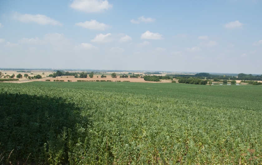
After this there is another fairly level area until you reach the Lincolnshire Wolds, an Area of Outstanding Natural Beauty. The Lincolnshire Wolds dominates the north western area of West Lindsey.
West Lindsey has recently been declared as the 17th most sparsely populated areas in England. This makes it ideal for cycling as there is less traffic around. Once off the major roads traffic is light and it is often easy to cycle for miles along the quiet lanes without encountering motorised vehicles. West Lindsey only has three towns, Gainsborough, Market Rasen and Caistor, all other settlements are classified as villages, although Welton and Saxilby both have populations greater than Market Rasen and Caistor. Enter the argument about what constitutes a town or village.
The Hills
The hills in Lincolnshire tend to be short and punchy, most don’t enter double figures in percentage of steepness, but a few do. Most of the climbs coming up The Lincoln Edge max out between 12 -15% depending where you decide to go up. Getting into the Lincolnshire Wolds means a climb. Nettleton Hill is reputed to be the most challenging, with a large section above 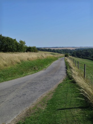 10% and a kick at the end rising to 15% making this a challenge for most local cycle clubs. Also, in Nettleton is Mansgate Hill that has an average ascent of 7% and is close to a mile long. Other hills that allow access to the Wolds include Caistor Hill, just over a mile from bottom to top averaging 5%, Walesby Hill 0.75 miles long averaging 7% and Claxby Hill peaking at 15% or 16% if you take the turning to Normanby-le-Wold. There are a number of climbs coming out of Stainton-le-Vale, the steepest being the lower road leading to the Caistor High Street, that peaks at 15%.
